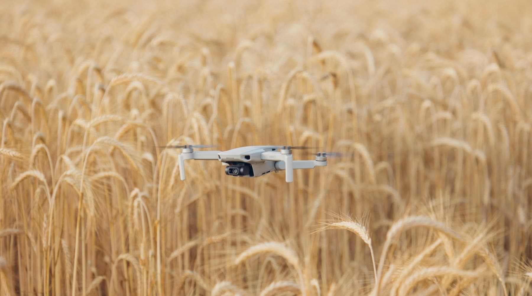
At UC Kearney Agricultural Research and Extension Center in Parlier, the field is already organized into rows, plots and experiments. The new wrinkle is above them: a workshop built around the small aircraft that can pass over a crop without leaving a tire track.
Drones are becoming another way to look at a farm. Their value is less in the flight itself than in what comes back from it—images and measurements that can help a grower inspect uneven conditions without treating every acre as if it had the same problem.
Mapping the Field from Above
The UC Cooperative Extension Drone Applications in Agriculture Workshop will cover precision applications, mapping, spraying and other field practices. The UC Agriculture and Natural Resources announcement describes the event as an opportunity for the farming community to see how drones can support agricultural work.
That can mean a high-resolution view of a block rather than a quick pass down the headland. Aerial imagery may help identify patterns worth checking on the ground, giving farm managers and pest control advisers a narrower place to start before sending people, equipment or product into the field.
From Image to Application
The distance between a colorful map and a useful farm decision is where most of the work lives. Someone still has to decide whether a visible difference is a water issue, a pest problem, a weak stand or simply a patch of soil that has always behaved differently. The workshop's emphasis on applications and spraying puts that handoff at the center.
For specialty-crop operations, the appeal is familiar: spend more attention where conditions justify it and less where they do not. But the equipment does not erase the need for a scouting system, a person who understands the block and a plan for acting on the information.
The Fresno County workshop is part of a broader run of agricultural technology demonstrations around California. A separate Salinas Valley field day is scheduled to show tools for lettuce and leafy greens, including drone application, irrigation management and automated field work.
A Tool, Not a Shortcut
The useful questions for a grower are concrete ones: What does the drone measure? How quickly does the information arrive? Who interprets it? Can the result be tied to a sprayer, irrigation decision or follow-up scouting pass? A flight that produces a handsome map but no change in the next field operation is mostly an expensive screensaver.
The event will be held September 9 at UC Kearney in Parlier. Morning Ag Clips' event notice directs farmers to the workshop for a closer look at the technology and its possible uses in production agriculture.